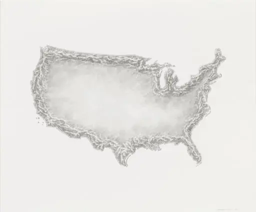
Untitled
1980
watercolor
From the collection of Museum of Modern Art
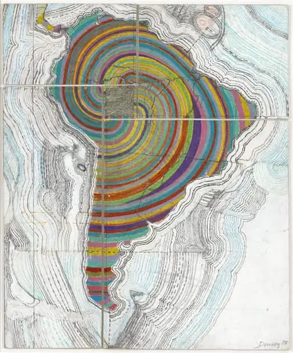
1980
watercolor
From the collection of Museum of Modern Art
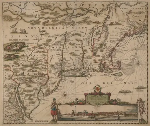
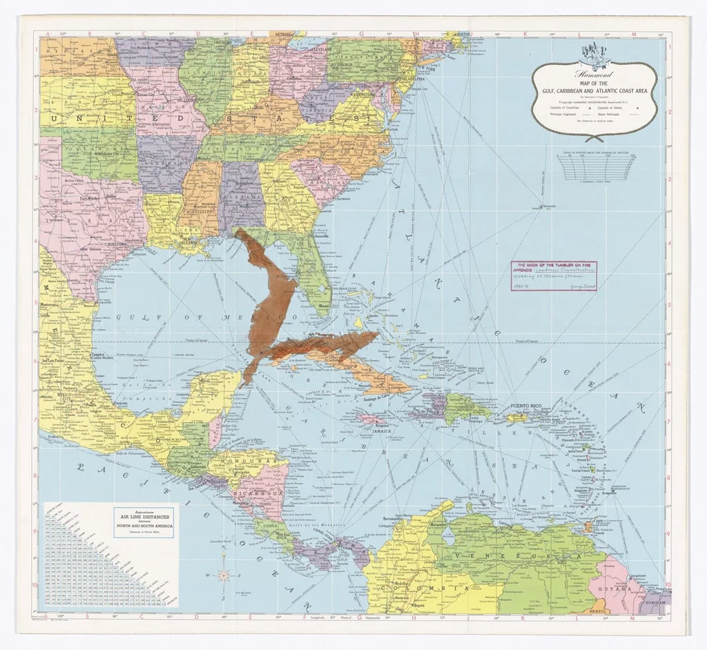
This map shows the Gulf of Mexico, the Caribbean, and parts of the Atlantic coast of the U.S. States are colored differently to stand out. Cities like New Orleans, Miami, and Havana are marked with dots. The ocean is light blue, and land areas are in bright colors like yellow, pink, and green. The map has extra details like air distances and a small compass rose in the corner. It looks like it was made to help with travel or navigation. If you like this style, check out George Brecht.