Artwork
Similands
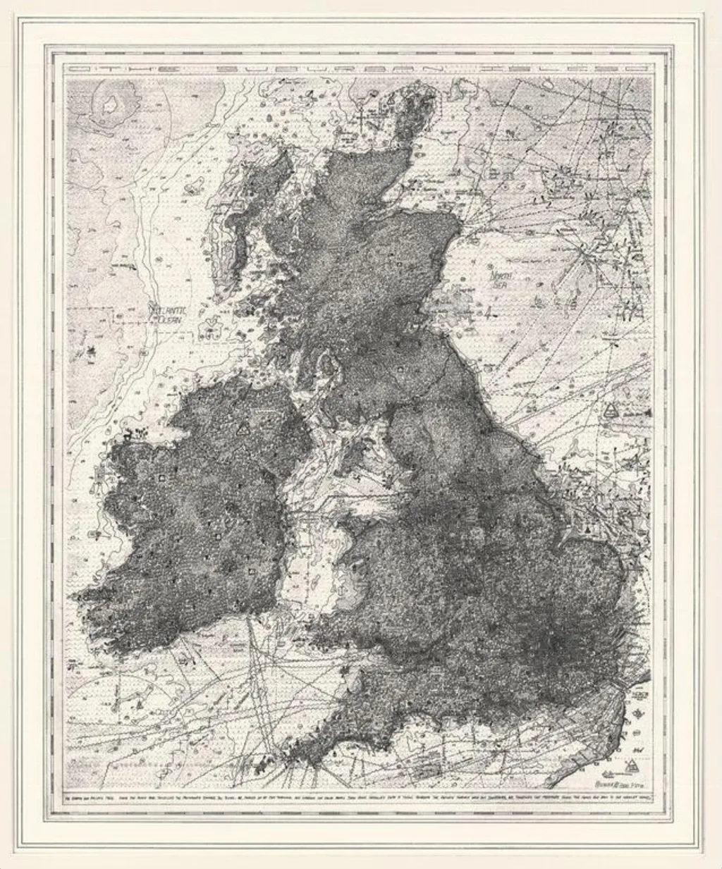
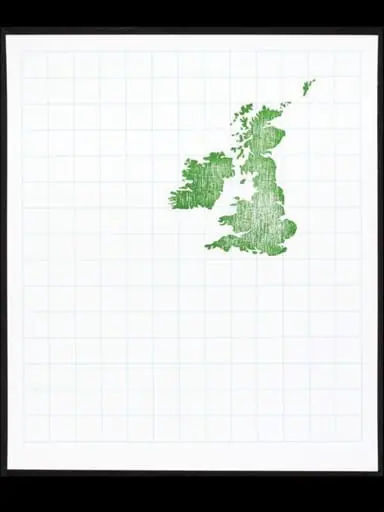
Similands is a print by Stephen Walter. It dates from 2006 and is held in the collection of the Victoria and Albert Museum.
About this work
Overview
Similands is a print by Stephen Walter, derived from a 2004/5 drawing, that mimics the appearance of a 16th- or 17th-century British Isles map, yet incorporates contemporary elements to convey a satirical message.
Subject & Meaning
The work critiques the commercialisation and homogenisation of modern British culture by juxtaposing historical map aesthetics with anachronistic symbols of modernity, such as fast-food logos, airport signs, and suburban developments, highlighting the diminishing connection with natural landscapes.
Technique & Style
Characterized by dense, intricate patterns, Similands blends traditional cartographic design with satirical, eclectic imagery, reflecting Walter's described obsession with mapping as a medium for social commentary.
History & Provenance
Originally a drawing from 2004/5, the print was showcased in Walter's 2005 exhibition 'Be Aware of Everything' at The Drawing Gallery, London, accompanied by statements elaborating on his thematic intentions.
Context
Created during a period of increased urbanisation and environmental concern, Similands responds to the era's themes of disconnection from nature and the pervasive influence of commercial culture.
Artist & collection
Artist
Stephen Walter once drew the entire London Underground from memory, just to see what he’d missed.

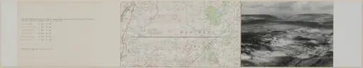
 Lat 51 ° 30 long. 139 ° 46
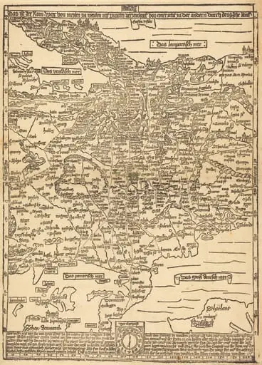 Road Map of Central Europe
 H Beard Print Collection
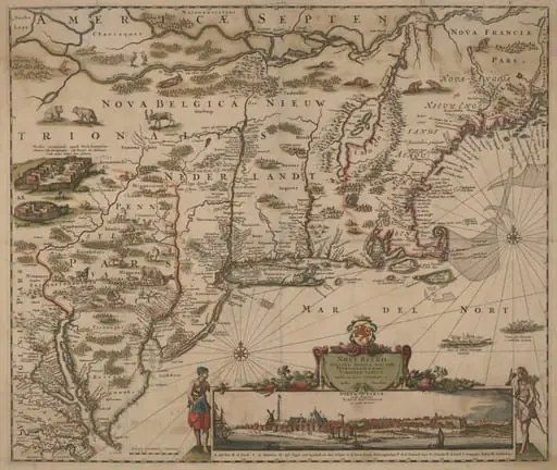 Novi Belgii Novaeque Angliae nec non Pennsylvaniae et partis Virginiae tabula multis in locis emendata
![The Siege of Breda [plate 3 of 6], by Jacques Callot](https://artifactworldgallery.com/img/jacques-callot--the-siege-of-breda-plate-3-of-6--c43bd4a835426ed7-w320.webp) The Siege of Breda [plate 3 of 6]
The Siege of Breda [plate 3 of 6] Untitled
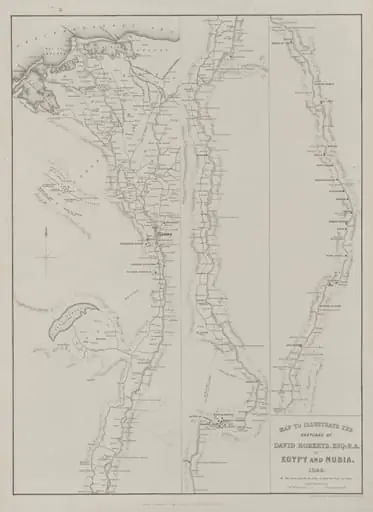 Egypt and Nubia, Volume III: Map to Illustrate the Sketches of David Roberts, Esq: R.A. in Egypt and Nubia 1849
 Untitled