Artwork
Road Map of Central Europe
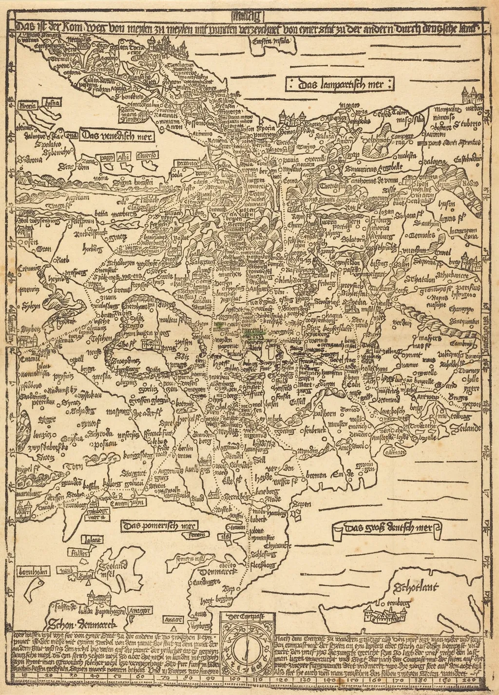
Road Map of Central Europe is an ink print by the Renaissance artist Erhard Etzlaub. It dates from 1500 and is held in the collection of the Rosenwald Collection.
- Inscription
- Inscribed:across top, in block: Das is der Rom weg von meylen zu meylen mit puncten verzeychnet von eyner stat zu der andern durch deutzsche lant (This is the way to Rome mile by mile with points from one city to another through the German lands)
About this work
This painting shows a map of Central Europe. It's interesting because it was made around 1500, a time when maps were not very common. The details on the map are quite basic, but it gives us an idea of what people knew about the area back then. You can learn more about this kind of mapmaking by looking into the technique: woodcut.
Overview
Though modest in detail, the map offers a snapshot of contemporary geographic knowledge and the emerging practice of printed cartography.
Erhard Etzlaub’s woodcut, dated to around 1500, presents a schematic representation of Central Europe. The print focuses on the territories of the Holy Roman Empire, outlining major regions and political boundaries as they were understood at the turn of the sixteenth century. Though modest in detail, the map offers a snapshot of contemporary geographic knowledge and the emerging practice of printed cartography.
Subject & Meaning
The work visualises the political landscape of the Holy Roman Empire, highlighting its constituent duchies, bishoprics, and free cities. By arranging these entities on a single sheet, Etzlaub provides a functional overview for travelers and officials, reflecting the period’s need for accessible geographic information in an era before comprehensive surveys.
Technique & Style
Executed as a woodcut, the image was carved into a wooden block, inked, and pressed onto paper, allowing multiple copies to be produced. The linear, high‑contrast style typical of early printmaking yields a clear, if simplified, depiction of borders and place names, emphasizing readability over artistic embellishment.
History & Provenance
Created circa 1500, the map belongs to a wave of printed atlases that spread across Europe as the printing press gained prominence. Etzlaub, a noted cartographer and instrument maker, distributed such prints to merchants and scholars, contributing to the gradual standardisation of regional maps during the Renaissance.
Own this work as a print
Artist & collection

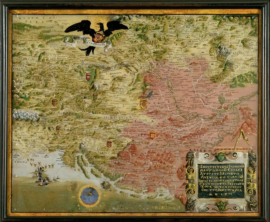 Landkarte der habsburgischen Erblande mit Kompaß (Karte des österreichisch-türkischen Kriegsschauplatzes)
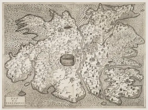 Untitled
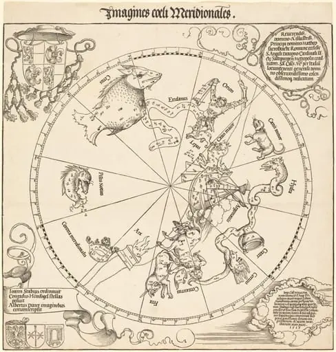 The Southern Celestial Hemisphere
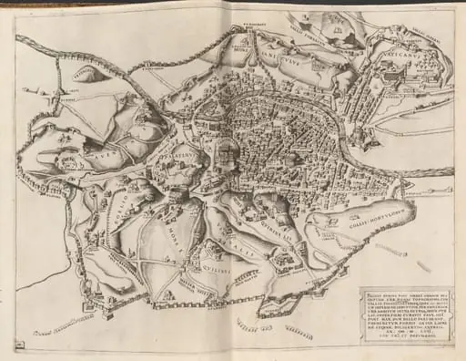 Topographical Map of Ancient Rome
![The Siege of Breda [plate 3 of 6], by Jacques Callot](https://artifactworldgallery.com/img/jacques-callot--the-siege-of-breda-plate-3-of-6--c43bd4a835426ed7-w320.webp) The Siege of Breda [plate 3 of 6]
The Siege of Breda [plate 3 of 6]![View of Venice [upper left block], by Jacopo de' Barbari](https://artifactworldgallery.com/img/jacopo-de-barbari--view-of-venice-upper-left-block--5b60543442b987bc-w320.webp) View of Venice [upper left block]
View of Venice [upper left block]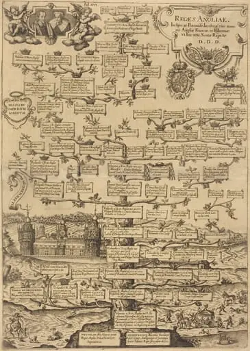 Reges Anglia
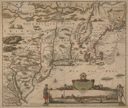 Novi Belgii Novaeque Angliae nec non Pennsylvaniae et partis Virginiae tabula multis in locis emendata
![The Siege of La Rochelle [plate 5 of 16; set comprises 1952.8.97-112], by Jacques Callot](https://artifactworldgallery.com/img/jacques-callot--the-siege-of-la-rochelle-plate-5-of-16-set-comprises-1952-8--26c0d48046d5d6d8-w320.webp) The Siege of La Rochelle [plate 5 of 16; set comprises 1952.8.97-112]
The Siege of La Rochelle [plate 5 of 16; set comprises 1952.8.97-112]