Artwork
Map of the World
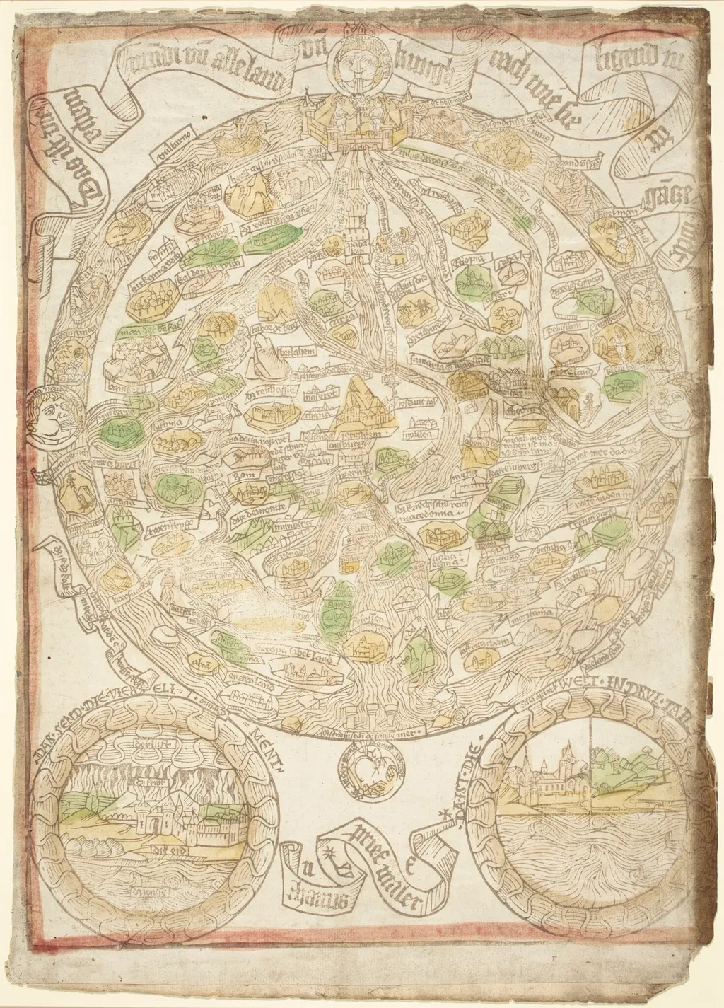
Map of the World is an ink print by the Renaissance artist Hans Sporer. It dates from 1480 and is held in the collection of the National Gallery of Art.
- Inscription
- Inscribed:at top, on banderole, in block: Das ist die mapa mu di un alle land un kungkreich wie sie ligend in der gatze welt; at bottom center, on banderole, in block: hanns prief maler
About this work
Overview
Hans Sporer's Map of the World, circa 1480, is a hand-colored woodcut print on square paper, framed by a red border. The pre-Columbian map depicts known landmasses in light green and yellow, with place names, simplified topographical features, and faded yet discernible colors.
Subject & Meaning
The map illustrates the late 15th-century understanding of global geography, omitting the Americas, which had not yet been discovered. It reflects the era's cartographic knowledge and the transition from medieval to early modern worldviews.
Technique & Style
Executed as a woodcut, the map's uneven edges and bold lines characteristic of the medium are evident. The hand-coloring in green, yellow, and ochre, along with antiquated typography, aligns with late Gothic stylistic influences.
History & Provenance
Created around 1480 by Hans Sporer, the map's provenance is not detailed here, though its production reflects the burgeoning print culture of late medieval Europe.
Context
This work contextualizes the geographical awareness of the pre-Columbian era, highlighting the limitations and understandings of the time. It also showcases the role of woodcuts in disseminating knowledge during the early days of printmaking.
Legacy
While not altering cartographic history, the map contributes to the historical record of evolving global awareness and the technical development of printmaking in the late 15th century.
Own this work as a print
Artist & collection


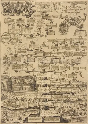 Reges Anglia
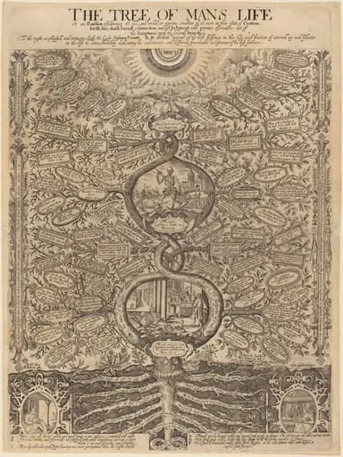 The Tree of Man's Life
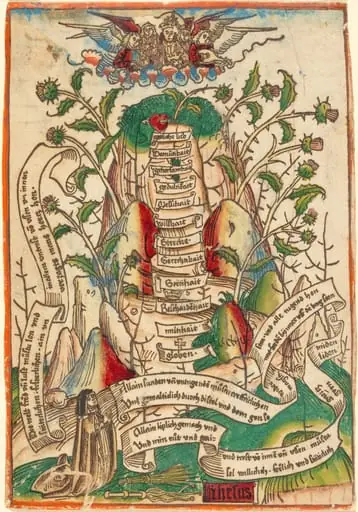 The Way of Salvation
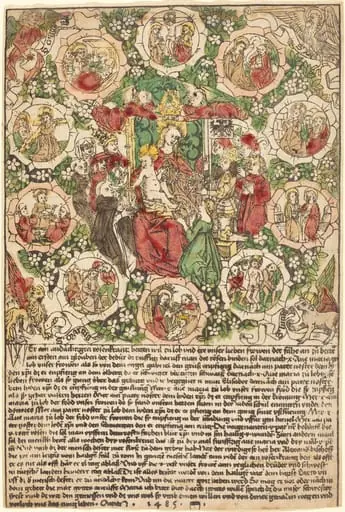 Madonna with the Rosary
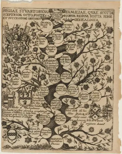 Family Tree of the Stuarts Stemming From Banquho
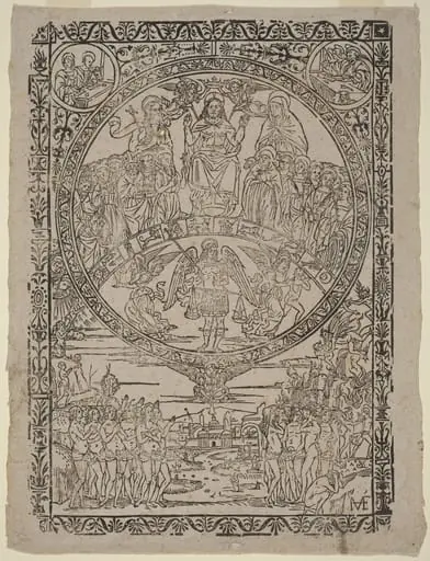 The Last Judgment
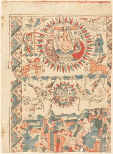 Saint Bonaventure Arriving and Preaching in Lyon
 The Apocalypse: Babylon the Harlot, Seated on the Seven-headed Beast
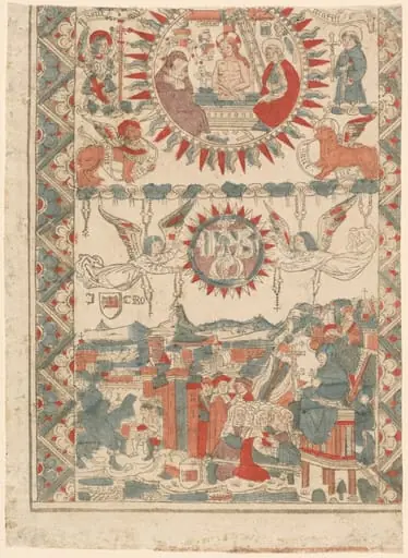 Saint Bonaventure Arriving and Preaching in Lyon
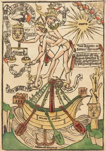 Allegory of the Meeting of Pope Paul II and Emperor Frederick III
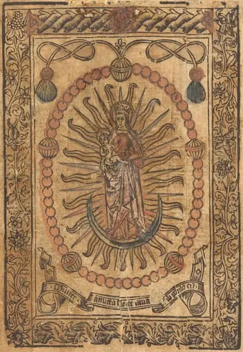 The Madonna and Child in a Rosary
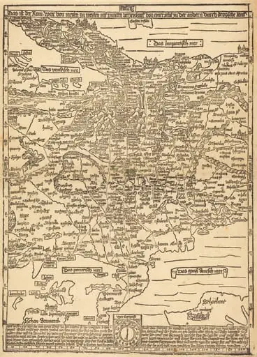
- Road Map of Central Europe