Artwork
清 佚名 大運河地圖 (從北京至長江) 卷|Map of the Grand Canal from Beijing to the Yangzi River
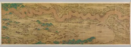
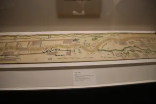
清 佚名 大運河地圖 (從北京至長江) 卷|Map of the Grand Canal from Beijing to the Yangzi River is an ink painting. It dates from 1800 and is held in the collection of the Metropolitan Museum of Art. This extensive handscroll, measuring over nine meters in length and 55.
About this work
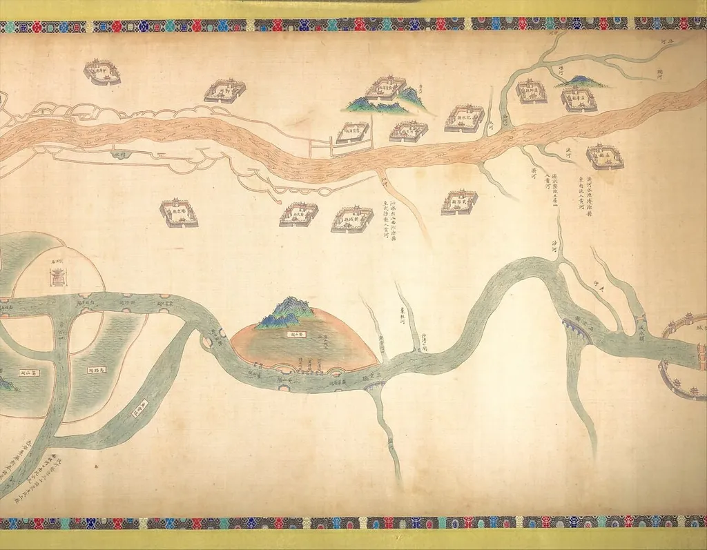
Nearly ten meters long, the Qing handscroll follows the Grand Canal from outside Beijing to the Yangzi River, rendering the Forbidden City and certain mountains in detail while labeling sluice gates, dikes, and walled cities along the way. The confluence of the Yellow and Huai Rivers fixes its content between 1737 and 1761, though the scroll was likely painted closer to 1800.
Subject & Meaning
The work's iconography, bridges, locks, cities, and waterways, documents the canal's infrastructure and the landscape it traverses.
This handscroll map-painting traces the Grand Canal from Beijing to the mouth of the Yangzi River, with the Forbidden City and the Huai River among the prominent sites depicted. The work's iconography, bridges, locks, cities, and waterways, documents the canal's infrastructure and the landscape it traverses. As a detailed cartographic painting, it represents the canal's significance as the imperial lifeline connecting the northern capital to the fertile south, embodying the Qing dynasty's administrative reach and economic integration.
Technique & Style
This work is executed as a handscroll in ink and color on silk, a medium and support commonly employed for Qing-era topographic paintings. The horizontal format, measuring 55.6 cm in height and 932.2 cm in width, allows for a continuous panoramic depiction of the Grand Canal route. The composition combines cartographic precision with pictorial elements: ink outlines define topography and architecture, while pale color washes indicate land, water, and vegetation, lending a descriptive yet refined visual character.
The handling is meticulous, with fine brushwork detailing cities, bridges, and waterways, reflecting the stylistic conventions of official 19th-century Chinese maps. No condition notes are recorded in the sources.
Overview
This extensive handscroll, measuring over nine meters in length and 55.6 centimeters in height, presents a detailed depiction of China's Grand Canal. Created anonymously during the Qing dynasty using ink and color on silk, the scroll traces the vital waterway from the area around Beijing southwards to the Yangzi River. It unfolds from right to left, illustrating the crucial infrastructure that facilitated imperial transport and communication.
History & Provenance
While the physical scroll is believed to have been created in the late eighteenth or early nineteenth century, scholarly analysis of the Yellow-Huai confluence indicates that the cartographic data reflects conditions between 1737 and 1761. The Metropolitan Museum of Art acquired this significant work in 2003 through a purchase supported by the Friends of Asian Art, where it is now cataloged under object number 2003.417.
Context
The Grand Canal was not merely an engineering marvel but also a strategic imperial asset, closely observed by Qing rulers. Emperors Kangxi and Qianlong, for instance, undertook periodic inspection tours to the southern regions, during which they meticulously monitored the canal's condition and the effectiveness of its flood control measures, underscoring its critical role in the empire's stability and economy.
Artist & collection

 Ten Thousand Miles along the Yellow River
 河防一览图
河防一览图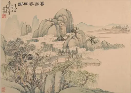 清 張熊 山水 冊頁|Landscape
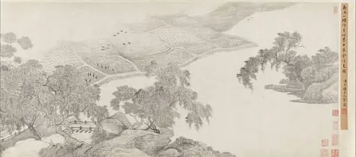 清 吳歷 墨井草堂消夏圖 卷|Whiling Away the Summer at the Ink-Well Thatched Hut
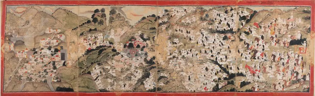 Raja Sansar Chand Attacking Kangra Fort
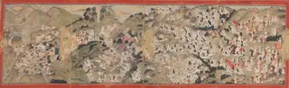 Raja Sansar Chand attacking Kangra Fort
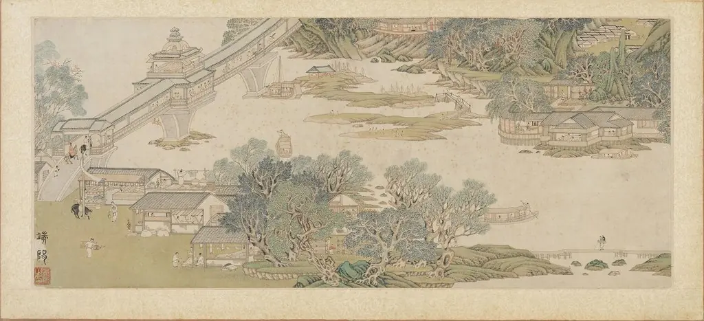 The Dragon Boat Festival
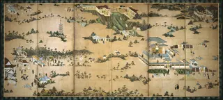 Pastimes and Pleasures in the Eastern Hills of Kyoto
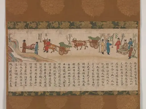 『過去現在絵因果経』 断簡 (松永本)|The Illustrated Sutra of Past and Present Karma (Kako genzai inga kyō emaki)